
Lidar Mapping & Manual Classification
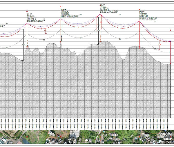
LiDAR provides digital mapping projects with highly accurate base map information. This is a cost-effective method to acquire elevation data; the data is compiled and processed to generate very detailed bare earth models in CADD, ESRI, LAS, or ASCII formats.
Derived imagery can be comprised of planimetric detail, digital surface models (DSM), digital elevation models (DEM), digital terrain models (DTM), and topographic maps.
Birdview Mapping has carried out many advance manual classification projects using Aerial Lidar and Mobile Lidar international and local markets.
Classification of ground, powerline, Vegetation, Building, and other feature as per client requirement. We offer support as technical partner for SRM Consulting Spain
If your looking for new innovative tools for LiDAR manual classification don't miss to get free demo from SRM consulting team